


Aavasaksa - where Finland meets Sweden: Nature and History
Rovaniemi (Finland)

Location
Due to Aavasaksa's distinctive elevation above other nearby hills, it was first used by Pierre Louis Maupertuis in the French Geodesic Mission (1736–1737), and later became part of the Struve Geodetic Arc. As a result of this, UNESCO named Aavasaksa a World Heritage Site, along with the 33 other sites used in the Struve Geodetic Arc.
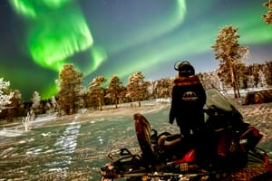
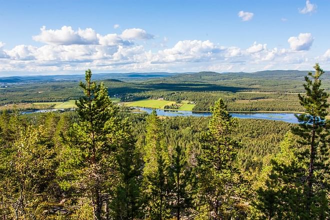
Aavasaksa is often considered the southernmost point in Finland where the midnight sun is literally visible. The hill is surrounded by rivers running next to it: Torne River to the west and the smaller Tengeliö river to the east and north.
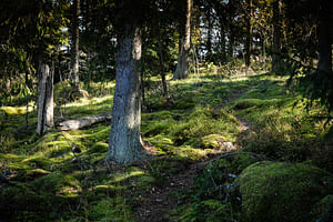
Övertorneå or Ylitornio is a locality and the seat of Övertorneå Municipality in Norrbotten County, Sweden with 1,917 inhabitants in 2010. Övertorneå means Upper Torneå, based on a division of the Torneå parish in two parts in the 16th century. We will see old church and very nice landscape.
What's included?
Please Note
- Animals or pets allowed
- Infant seats available
- Not wheelchair accessible
- Not stroller accessible
- No public transportation nearby
- Infants must not sit on laps
- Not recommended for people with back problems
- Not recommended for pregnant travelers
- Not recommended for people with heart conditions
Cancellation Policy
Please contact WorldGift for more information.


Validate your login
Sign In
Create New Account